
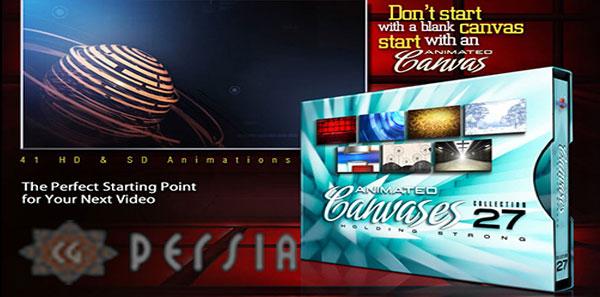
Digital Juice – Animated Canvases 27: Holding Strong
Continue Reading
Archives
All posts for the day November 13th, 2013

Digital Tutors – Retopologizing Meshes in Maya
Continue Reading

Lynda – Mograph Techniques: Modeling and Animating with C4D Cloners with Ian Robinson
Continue Reading
TutsPlus – Text Design for Video
Continue Reading


Duration 1h 4m Level Intermediate Project Files Included 15FPS MP4 556MB
In this series of tutorials, you’ll learn how to put together all the elements you’ll need to
create a powerful and professional site analysis using Revit 2014.
We’ll begin by inserting a satellite image of a proposed building site located in a dense downtown
setting where you’ll see how to quickly scale your image using real world data. From there we’ll
create the site’s infrastructure by placing streets, bridges and blocks that will really bring the
site to life. Once we’ve completed our model, we’ll then analyze the site even further by
conducting a solar study to study the sun’s path and its effect on our site. Finally, we’ll be
able to experience the scale of our site by creating a basic walkthrough of downtown.
Once you’ve become comfortable with the concepts and techniques in this course, you’ll be able to
put together a high-quality site analysis presentation of your own with no problem.
Rapidgator
http://rg.to/file/2c935d027c62ee97b8dacf4fdec1bb90/DTCreSiteAnalRevit.part1.rar.html
http://rg.to/file/6751f8a8d600d9b5c0b28fb0d239464e/DTCreSiteAnalRevit.part2.rar.html


